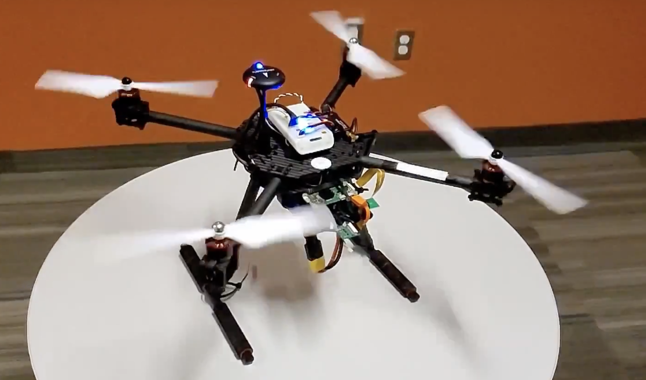
Heat Source Mapping Drone
C Python OpenCV Matplotlib Seaborn
A sophisticated drone with autopilot made with PX4 and QGroundControl that collects live photos and heat data and coalesces it into a signature heat map. The heat map creation was done with various Python libraries, namely OpenCV to stitch the taken images together, as well as Seaborn to highlight the areas of heat. In addition to this, the data to be visualized was organized with the Pandas library. The drone flies a zig-zag pattern resembling a path a lawnmower would take, collecting data 20 times per second to ensure a high degree of accuracy with the final heat map.
The full project can be found at: GitLab